Dodge Store awaits Highway 6 safety plans 9/11/2015
Published 12:00 am Friday, September 11, 2015

By John Howell
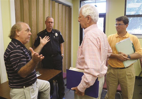
The Mississippi Department of Transportation’s plans to improve safety on the Highway 6 corridor between Power Drive and Highway 51 includes raised medians, minimized access and better coordination between traffic signals, MDOT District Engineer Mitch Turner said Tuesday.
Turner spoke, responding to an invitation from the city, to a meeting of Batesville’s board of mayor and aldermen with several business and economic development representatives.
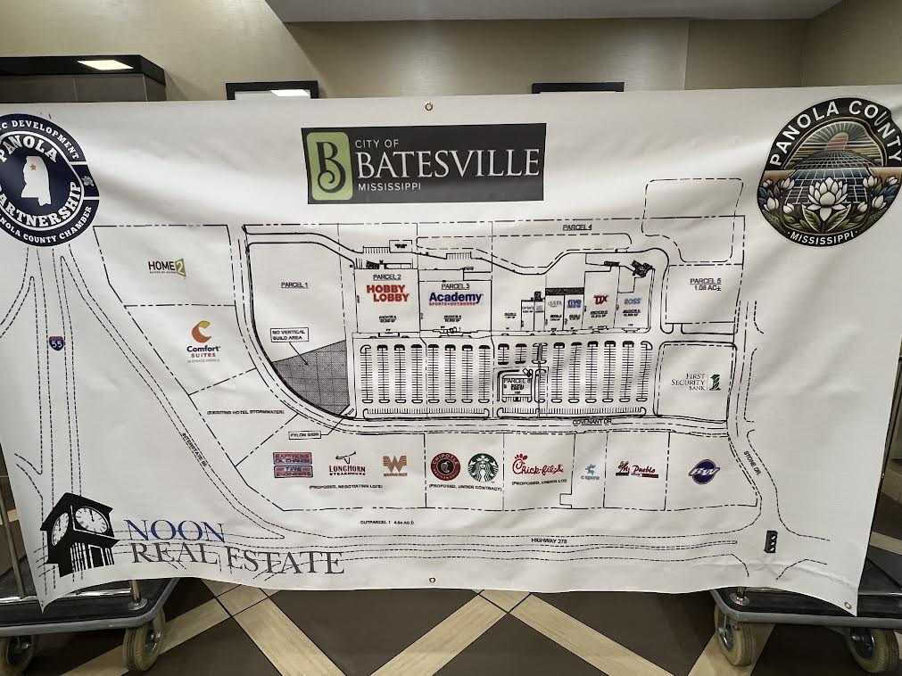
Driving the meeting was a request from Dodge Convenience Stores President Henry Dodge who plans to build a convenience store on the south side of Highway 6 between Power Drive and Woodland Road. He attended Tuesday’s meeting.
Dodge had requested a resolution from the mayor and aldermen stating that the city opposes a raised median between Power Drive and Woodland.
“How would we be protected going down the road with that kind of investment two years down the road, five years down the road?” Dodge asked Turner.
“We’re breaking ground in Jackson, Tennessee in another two months. We would have been breaking ground in Batesville. We put Batesville off based on these conversations we’re having here. Construction time up there is another five months or so; Batesville would be next on the list.
“We like Batesville,” Dodge continued. “We think we can play a major role in helping y’all develop the west side from I-55 into the Batesville corridor.”
The convenience store entrepreneur said that he expects to build a $3.3 million facility that will generate an estimated $12 million annual sales.
“We’ll be able to make changes and modifications based on your input. I don’t say in every case, but in most cases we are able to work with people,” Turner said.
The MDOT engineer unrolled a long aerial photo of Highway 6 from I-55 to Highway 51 with areas of most frequent collisions identified.
“From Keating down to Vick Street, there’s more of a crash history than other sections,” Turner said, pointing to the photo.
“The number of conflict points in this section of road is tremendous, and it’s so high because of all the little side streets and all the little entrances in and out of these businesses. That’s one way to make this a safer route … by splitting the traffic east and west, … by closing some of the access points you really don’t need,” Turner said.
Other points of discussion:
• The safety improvements would be funded through the federal highway safety funds that are more dependable than funding for other projects;
• The north/south lanes that connect Keating and Woodland Roads at the are offset, Alderman Stan Harrison said.
“If you’re coming south, you’re basically coming head-on into the man going north,” Harrison said.
Turner said that MDOT could re-stripe the intersection with “cat tracks” to make the traffic flow more visible.
• The schedule for mowing roadside grass was delayed this summer starting in Fall, 2014, when rainfall prevented application of herbicides to curb growth. Spring rainfall also limited herbicide application and delayed actual mowing as well, Turner said.
Cities may maintain MDOT right-of-way within their corporate limits, Turner said.